 Business Builder Map
Guide
What a GIS investment portal needs beyond a map viewer
Many agencies and zones already publish their GIS data in a web map viewer. It shows the layers, but investors are not GIS users. A GIS investment portal turns the same data into answers an investor can act on.
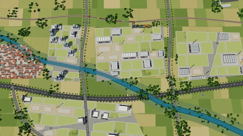
The usual starting point
The GIS team has done careful work: parcels, zoning, utilities, transport and risk areas, all in one system. To share it, they publish a viewer with a layer list, a legend and a search box.
An investor opens it and sees dozens of layers with technical names. They want to know which plot fits a 5 hectare warehouse with strong power near the rail, and the viewer cannot tell them. They close the tab, and the data that took years to build brings no enquiry.
What investors need from GIS data
- Answers per plot, not per layer: size, zoning, price, status, power and water capacity.
- Distances that are already worked out: to the highway, the rail terminal, the port and the airport.
- A way to describe a project and get a ranked shortlist, with the reason behind each match.
- Plain names for layers and classes, in the investor's language.
- A next step on the same page: an enquiry that names the plots, or a reservation request.
Reuse the data you already have
A portal like this does not need a new survey. Shapefiles, GeoJSON, spreadsheets with coordinates and other common GIS formats can all be used. Before anything is published, the data is checked: coordinate systems, plot boundaries that overlap or do not close, and figures that do not match the drawing are found early instead of in front of an investor.
Who maintains it
The GIS team keeps working in its own tools. Updates are loaded from the files it already maintains, and when a plot changes, every visitor sees the change. The portal displays and explains the data; heavy processing stays where it is today.
A short checklist
- 1Can an investor find a plot that fits their project without knowing GIS?
- 2Does each plot card show the figures investors ask for first?
- 3Are distances and capacities computed, not left to the investor?
- 4Does the page end with an enquiry or a reservation request?
- 5Can your team update the data without a developer?
How Business Builder Map does it
Business Builder Map is built on GIS data but made for investors. Your parcels, utilities and infrastructure become an Investment Map with plot cards, layers, a 3D view of terrain and plots, map tools for distance, area, elevation profile and catchment, Site Selection, investor tools and online plot booking, on your domain and in your languages.
Try it in the Demo Zone, a sample region with more than 100 plots.
Questions
Do we need a particular GIS product?
No. Business Builder Map works with common GIS formats such as Shapefile and GeoJSON, and with spreadsheets that carry coordinates.
Will it replace our GIS?
No. Your GIS stays the place where the data is made and maintained. The portal is where investors use it.
Can we keep our existing map viewer?
Yes. Many teams keep the viewer for specialists and link to the investment portal for investors.
Is it a digital twin?
It is an investment portal: a live map of your land offer with the facts investors need. Where 3D matters, it adds a 3D view of terrain and plots and building models for selected plots.
Read next
- Industrial land bank portalHow to put an industrial land bank online: every available plot and site on one map, with utilities, prices and incentives, and a path to allotment.Read
- Choosing investment promotion softwareChoosing investment promotion software for an agency, economic zone or city? Ten questions to ask any vendor, from plot data to online booking.Read
- Investment map software comparedInvestment map and site selection tools compared in 2026: ZoomProspector, InvestmentMap, LocationOne, LOIS, ArcGIS and Business Builder Map, with sources.Read
Demo Zone
See it working on a whole region
A sample region with 117 plots: the Investment Map, Site Selection, investor tools and online booking. No sign-up.
